| Downlink: | 462.650 |
| Uplink: | 467.650 |
| Uplink Tone: | LOG IN TO VIEW |
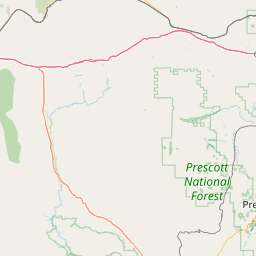
| County: | Navajo |
| GPS*: | |
| Owner: | WRVQ445 |
| Use: | OPEN |
| Op Status: | |
| Coverage: |
Heber - Overgaard and surrounding area |
| Notes: | *UPDATE 7/14/2023* Channel changed to 19, same PL tone. In testing. This repeater is a work in progress, there may be times when this repeater is unavailable. Established March 2023 for community awareness and preparedness. |
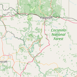
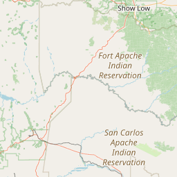


Exact coordinates of the repeater are
not known.
Coverage circle based on mobile coverage and ignores propagation anomalies and terrain.