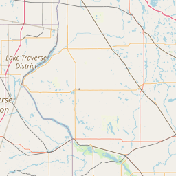
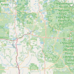
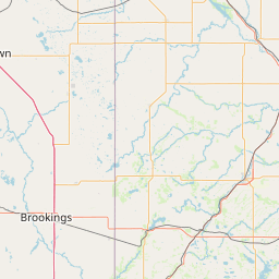
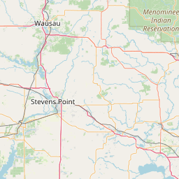
(1 of 4) ...CRITICAL FIRE WEATHER CONDITIONS FOR POTIONS OF NORTHEAST MINNESOTA AND NORTHWEST WISCONSIN TODAY... .Strong southerly winds are forecast once again today, although they will be weaker than Sunday and Monday. Afternoon RH values will dip into the 15 to 25 percent range across the Northland with high temperatures generally in the 80s to near 90 degrees. These conditions will create critical fire weather conditions over nearly all of northeast Minnesota (except for the immediate Lake Superior shore areas) and portions of northwest WI, mainly around the pine barrens. Near-critical conditions are forecast over north-central Wisconsin due to lighter winds. * AFFECTED AREA...In Minnesota, Koochiching, North St. Louis, Northern Cook and Lake, North Itasca, Central St. Louis, North Cass, South Itasca, South Cass, Crow Wing, Northern Aitkin, South Aitkin, Carlton and South St. Louis and Pine. * WINDS...South 10 to 20 mph with gusts up to 25 mph. * RELATIVE HUMIDITY...As low as 18 percent. * IMPACTS...Any fires that ignite could spread rapidly and become difficult to control. Outdoor burning is not recommended. (2 of 4) * AFFECTED AREA...In Minnesota, Traverse and Big Stone. * WINDS...South 15 to 25 mph with gusts up to 35 mph. * RELATIVE HUMIDITY...As low as 16 percent. * IMPACTS...Any fires that ignite will spread rapidly and become difficult to control or suppress. (3 of 4) * AFFECTED AREA...In Minnesota, West Polk, Norman, Clay, Kittson, Roseau, Lake Of The Woods, West Marshall, East Marshall, North Beltrami, Pennington, Red Lake, East Polk, North Clearwater, South Beltrami, Mahnomen, South Clearwater, Hubbard, West Becker, East Becker, Wilkin, West Otter Tail, East Otter Tail, Wadena and Grant. In North Dakota, Towner, Cavalier, Pembina, Benson, Ramsey, Eastern Walsh, Eddy, Nelson, Grand Forks, Griggs, Steele, Traill, Barnes, Cass, Ransom, Sargent, Richland and Western Walsh. * WINDS...South 20 to 35 mph with gusts up to 50 mph. * RELATIVE HUMIDITY...As low as 15 percent. * IMPACTS...Any fires that ignite will spread rapidly and become difficult to control. Outdoor burning is not recommended. (4 of 4) ...CRITICAL FIRE WEATHER CONDITIONS EXPECTED TODAY... The combination of hot temperatures in the 80s to lower 90s, very low relative humidity values between 15 to 25 percent, and gusty winds will work in tandem with dry fuels to create critical fire weather conditions today. Fires can quickly spread out of control in these conditions. * WIND...South to southwest winds of 10 to 15 mph with gusts up to 30 mph. * HUMIDITY...As low as 15 percent. * IMPACTS...Any fires that develop will likely spread rapidly. Outdoor burning is not recommended.
honey pot Minneapolis, Minnesota, 145.11, KD0JOU Repeater

Minneapolis, MN

KD0JOU
Repeater ID: 27-9976

Downlink: 145.11000
Uplink: 144.51000
Offset: -0.600 MHz
D-STAR Enabled
Node: KD0JOU (C) Gateway Repeater
County: Hennepin
Call: KD0JOU
Use: OPEN
Op Status: ON-AIR On-Air
Coverage:
Sponsor: Flying Cloud Radio Society
Web links: jfindu
dstarusers.org
APRS.fi
Last updated: 2024-11-09
Last reviewed: 2024-11-09
Marker
30 km
20 mi
Leaflet © OSM contributors

Exact coordinates of the repeater are not known.
Coverage circle based on mobile coverage and ignores propagation anomalies and terrain.

Signal Reports (click map icon for details): Base Mobile HT
Add a Signal Report


Date Information Updated
2021-01-29 16:28:31 Added.

Call Date Details
2024-10-21 Operational status changed from On-Air to Off-Air per dstarusers.org.
WSCR368 (registered) 2024-04-28 Reported no changes
WSCR368 (registered) 2024-04-28 Reported on-air.