
| Downlink: | 145.23000 |
| Uplink: | 144.63000 |
| Offset: | -0.600 MHz |
| Uplink Tone: | 127.3 |
| Downlink Tone: | 127.3 |
| System Fusion Enabled | |
| DG-ID: | 00 - Open |
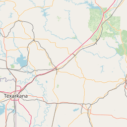
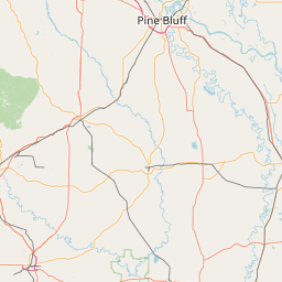
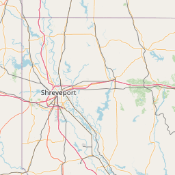
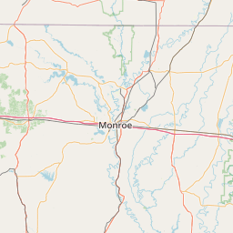
| County: | Union |
| Grid: | EM32UQ |
| Call: | KC5DR |
| Use: | OPEN |
| Op Status: | |
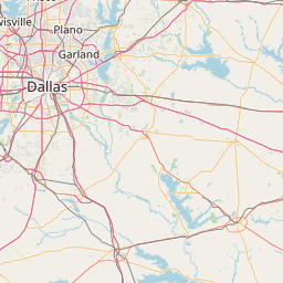
| Coverage: |
25 mi radius. |
| Sponsor: | Louisiana Delta Radio Club |
| Features: | Emergency power equipped. |
| FM: | Yes; analog capable. |
| Analog Bandwidth: | 25.0 kHz (wideband) |
| Notes: | 145.23 + offset 127.3 PL Tone/System Fusion Farmerville, La . The 23 is located close to Walmart on the Union Parish Sheriff’s office tower. and is running a Yaesu DR-X2 System Fusion Repeater in Auto mode on the Receive. It will be linked to the 147.135 repeater in the future. The antenna is a DB-224 up about 320 AGL fed with 7/8″ Heliax |
| Coordination: | LCARC |
| Last updated: 2021-06-20 | |
| Last reviewed: 2024-12-07 | |


Exact coordinates of the repeater are known.
Coverage circle does not account for propagation anomalies or terrain.
| Click the icons on map for details. | ||
