(1 of 6) ...The Flood Warning continues for the following rivers in Texas... South Sulphur River Near Cooper affecting Hopkins and Delta Counties. * WHAT...Minor flooding is occurring and minor flooding is forecast. * WHERE...South Sulphur River near Cooper. * WHEN...Until late Wednesday evening. * IMPACTS...At 16.0 feet, Minor out of bank flooding will occur. A few rural roads will begin to flood. Minor flooding will occur to farm and ranch land adjacent to the river. * ADDITIONAL DETAILS... - At 8:15 PM CDT Monday the stage was 16.5 feet. - Bankfull stage is 16.0 feet. - Flood stage is 16.0 feet. - Forecast...The river is expected to fall below flood stage late Wednesday morning and continue falling to 12.5 feet Saturday evening. (2 of 6) ...The Flood Warning continues for the following rivers in Texas... Angelina River Near Lufkin affecting Nacogdoches, Cherokee and Angelina Counties. For the Angelina River...including Alto, Lufkin...Minor flooding is forecast. * WHAT...Minor flooding is occurring and minor flooding is forecast. * WHERE...Angelina River near Lufkin. * WHEN...Until further notice. * IMPACTS...At 162.0 feet, Minor lowland to diminish and end on the lower Angelina River. * ADDITIONAL DETAILS... - At 8:15 PM CDT Monday the stage was 163.2 feet. - Bankfull stage is 158.5 feet. - Recent Activity...The maximum river stage in the 24 hours ending at 8:15 PM CDT Monday was 163.3 feet. - Forecast...The river is expected to rise to a crest of 163.2 feet just after midnight tonight. - Flood stage is 161.0 feet. - Flood History...No available flood history. - http://www.weather.gov/safety/flood (3 of 6) ...The Flood Warning continues for the following rivers in Texas... Sabine River Near Mineola affecting Smith and Wood Counties. For the Sabine River...including Mineola, Hawkins, Gladewater, Longview, Beckville, Logansport...Minor flooding is forecast. * WHAT...Minor flooding is occurring and minor flooding is forecast. * WHERE...Sabine River near Mineola. * WHEN...Until late Thursday night. * IMPACTS...At 16.0 feet, Expect flooding of low river bottoms with secondary roadways along with picnic and recreational areas becoming inundated as well. Ranchers should move cattle and equipment to higher ground. * ADDITIONAL DETAILS... - At 8:15 PM CDT Monday the stage was 15.8 feet. - Bankfull stage is 14.0 feet. - Recent Activity...The maximum river stage in the 24 hours ending at 8:15 PM CDT Monday was 16.2 feet. - Forecast...The river is expected to fall below flood stage Thursday morning and continue falling to 12.4 feet Saturday evening. - Flood stage is 14.0 feet. - Flood History...This crest compares to a previous crest of 15.8 feet on 03/24/2015. - http://www.weather.gov/safety/flood (4 of 6) ...The Flood Warning continues for the following rivers in Texas... Neches River Near Neches affecting Anderson, Cherokee and Houston Counties. For the Neches River...including Lake Palestine, Neches, Alto, Diboll, Rockland...Minor flooding is forecast. * WHAT...Minor flooding is occurring and minor flooding is forecast. * WHERE...Neches River near Neches. * WHEN...Until Saturday evening. * IMPACTS...At 12.0 feet, Expect minor lowland flooding of the heavily wooded floodplain. Ranchers that may have livestock and equipment in the river bottoms should move them to higher ground. Expect minor flooding of the boat ramp. * ADDITIONAL DETAILS... - At 7:30 PM CDT Monday the stage was 12.9 feet. - Bankfull stage is 12.0 feet. - Recent Activity...The maximum river stage in the 24 hours ending at 7:30 PM CDT Monday was 13.2 feet. - Forecast...The river is expected to fall below flood stage early Saturday morning and continue falling to 11.7 feet Saturday evening. - Flood stage is 12.0 feet. - Flood History...This crest compares to a previous crest of 12.5 feet on 04/10/2014. - http://www.weather.gov/safety/flood (5 of 6) ...The Flood Warning continues for the following rivers in Texas... Sabine River Near Gladewater affecting Smith, Wood, Gregg and Upshur Counties. For the Sabine River...including Mineola, Hawkins, Gladewater, Longview, Beckville, Logansport...Minor flooding is forecast. * WHAT...Minor flooding is occurring and minor flooding is forecast. * WHERE...Sabine River near Gladewater. * WHEN...Until Friday morning. * IMPACTS...At 29.0 feet, Expect lowland flooding to continue with oil field operations curtailed. * ADDITIONAL DETAILS... - At 8:15 PM CDT Monday the stage was 29.4 feet. - Bankfull stage is 25.0 feet. - Recent Activity...The maximum river stage in the 24 hours ending at 8:15 PM CDT Monday was 29.6 feet. - Forecast...The river is expected to fall below flood stage early Thursday afternoon and continue falling to 19.6 feet Saturday evening. - Flood stage is 26.0 feet. - Flood History...This crest compares to a previous crest of 29.2 feet on 03/04/1985. - http://www.weather.gov/safety/flood (6 of 6) ...The Flood Warning continues for the following rivers in Texas... Sabine River Near Hawkins affecting Smith, Wood and Upshur Counties. For the Sabine River...including Mineola, Hawkins, Gladewater, Longview, Beckville, Logansport...Minor flooding is forecast. * WHAT...Minor flooding is occurring and minor flooding is forecast. * WHERE...Sabine River near Hawkins. * WHEN...Until Tuesday morning. * IMPACTS...At 23.0 feet, Minor lowland flooding. Move livestock and equipment to higher ground. * ADDITIONAL DETAILS... - At 7:45 PM CDT Monday the stage was 23.4 feet. - Bankfull stage is 22.0 feet. - Recent Activity...The maximum river stage in the 24 hours ending at 7:45 PM CDT Monday was 24.3 feet. - Forecast...The river is expected to fall below flood stage late tonight and continue falling to 13.6 feet Saturday evening. - Flood stage is 23.0 feet. - Flood History...This crest compares to a previous crest of 24.4 feet on 03/15/2015. - http://www.weather.gov/safety/flood
RepeaterBook.com Home Page
honey pot McDade, Texas, 441.575, NU5DE Repeater

McDade, TX

NU5DE
Repeater ID: 48-931

Downlink: 441.57500
Uplink: 446.57500
Offset: +5.000 MHz
Uplink Tone: 100.0
System Fusion Enabled
DG-ID: 00 - Open
County: Bastrop
Grid: EM10jh
Call: NU5DE
Use: OPEN
Op Status: ON-AIR On-Air
Coverage: Local Area Coverage.
Local only coverage. 7 mi radius.
Features: (a) Auto Patch. (e) Emergency Power.
Emergency power equipped.
FM: Yes; analog capable.
Analog Bandwidth: 25.0 kHz (wideband)
Notes: TVHFS Listing (as of 31 December 2022): 441.5750 MCDADE BASTROP N5UDE 100.0ae 4. (See: http://www.txvhffm.org/repeaters/repeaters.php). RB: Current custodian(s) for N5KF 441.57500 McDade repeater (48-931): N5KF -- RRC.
Web links: Sponsor: N5KF -- Robert G. Redoutey -- Trustee.
Sponsor: NU5DE -- NATURIST AMATEUR RADIO CLUB.
Coordination: TVHFS
Last updated: 2022-12-30
Last reviewed: 2022-12-30
50 km
30 mi
Leaflet | © OpenStreetMap, © OpenStreetMap contributors

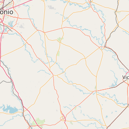
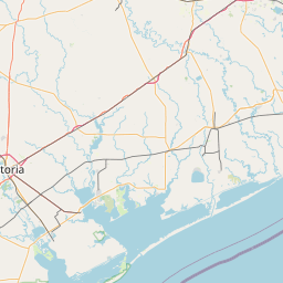
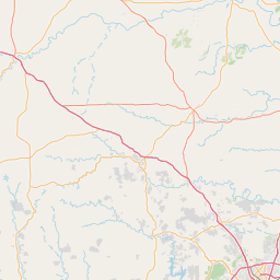
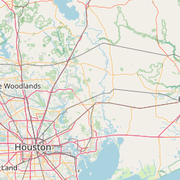
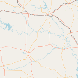
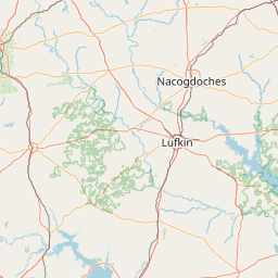
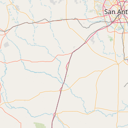
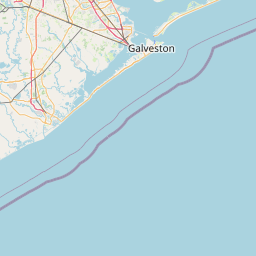
Exact coordinates of the repeater are known.
Coverage circle does not account for propagation anomalies or terrain.

Add a Propagation Report

- Base - HT - Mobile
Click the icons on map for details.


QUICK UPDATE
It's been over 2 years since we've heard if this repeater is operational.
Report repeater:

Report Heard Report Not Heard
Call Date Information
N5KF (registered) 2022-12-26 N5KF has requested the following changes: Callsign changed from N5KF to NU5DE. Features changed. Web site changed to http://qrz.com/db/nu5de. The requester wants you to know: "Changed Callsign of the repeater from N5KF to Club Callsign NU5DE. Location did not change, just call sign." RB: TVHFS Listing (as of 31 December 2022): 441.5750 MCDADE BASTROP N5UDE 100.0ae 4. (See: http://www.txvhffm.org/repeaters/repeaters.php). RB: Current custodian(s) for N5KF 441.57500 McDade repeater (48-931): N5KF -- RRC.
N5KF (registered) 2022-07-13 City was changed to McDade. The county changed to Bastrop. The coordinates were changed. Features changed.
N5KF (registered) 2020-04-16 Website and email updated.
N5JFP (registered) 2019-09-18 On-Air
N5KF (registered) 2012-05-21 Updated Status, Features, Coverage, Website and email.


Copyright © 2006-2025 RepeaterBook.com. All Rights Reserved.
Created and owned by KD6KPC/WREQ745 since 2006.
All data, including non-copyrightable data, is protected from theft under Oregon law (ORS 164.377).

Page created in 0.046793 seconds.