| Downlink: | 147.38000 |
| Uplink: | 147.98000 |
| Offset: | +0.600 MHz |
| Uplink Tone: | 203.5 |
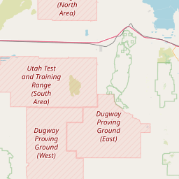
| County: | Millard |
| Grid: | DM39he |
| Call: | KB7WQD |
| Use: | OPEN |
| Op Status: | |
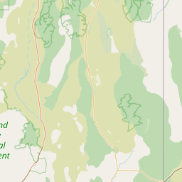
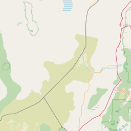
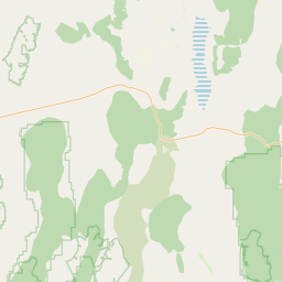
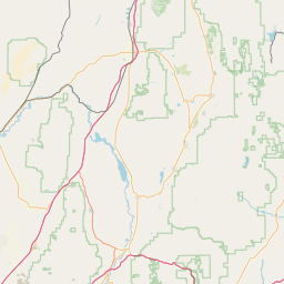
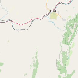
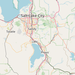
| Coverage: |
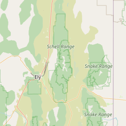
West-central Utah around Delta, Tusher Mountains, Monroe & Clear Creek Canyon. |
| Height (ASL): | 8,890 feet |
| ERP: | 48 watts |
| Sponsor: | Nyle Stott, KB7WQD |
| FM: | Yes; analog capable. |
| Analog Bandwidth: | 25.0 kHz (wideband) |
| Coordination: | UVHFS |
| Last updated: 2022-12-09 | |
| Last reviewed: 2022-12-09 | |
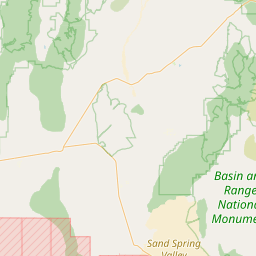
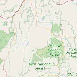
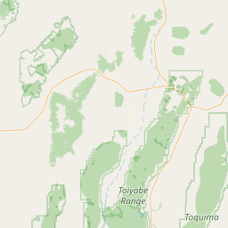
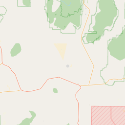

Exact coordinates of the repeater are known.
Coverage circle does not account for propagation anomalies or terrain.
| Click the icons on map for details. | ||

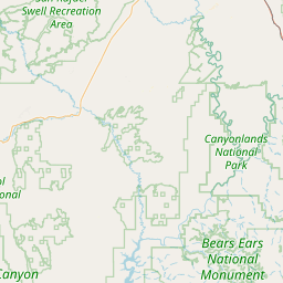
Whoever "anon" is, they really messed up the coordinates. This repeater is for Delta UT area. Corrected coordinates should display soon.
Activity
Travel
Posted by: KG7UDU