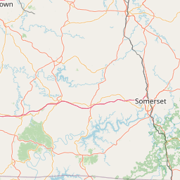
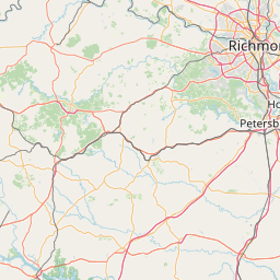
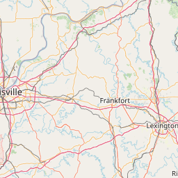
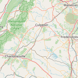
(1 of 6) * WHAT...Small stream flooding caused by excessive rainfall is expected. * WHERE...A portion of northern Virginia, including the following counties, Fauquier and Prince William, especially along Cedar Run. * WHEN...Until 700 AM EDT Thursday. * IMPACTS...Flooding of creeks, streams, and other low-lying and flood-prone locations is imminent or occurring. * ADDITIONAL DETAILS... - At 1255 AM EDT, Doppler radar indicated heavy rain. Flooding is ongoing or expected to begin shortly in the warned area. Between 1 and 3 inches of rain have fallen in the Cedar Run basin. - Additional rainfall amounts up to 0.5 inches are possible in the warned area. - Some locations that will experience flooding include... Catlett... Calverton... Aden... - This includes the following Flood Prone Roads... Route 806 at Shenandoah Path and Sowego Road at Town Run near Route 806. - Please visit www.weather.gov/safety/flood for flood safety and preparedness information (2 of 6) ...The Flood Warning continues for the following rivers in Virginia... Rappahannock River at Fredericksburg affecting Spotsylvania, Stafford and City of Fredericksburg independent cities. For the Rappahannock River...including Fredericksburg...Minor flooding is forecast. * WHAT...Minor flooding is forecast. * WHERE...Rappahannock River at Fredericksburg. * WHEN...Until tomorrow afternoon. * IMPACTS...At 15.0 feet, Old Mill Park in Fredericksburg can no longer be accessed by car due to flooding. * ADDITIONAL DETAILS... - There is no current observed data. - Forecast...The river is expected to rise to a crest of 14.7 feet tomorrow morning. It will then fall below flood stage late tomorrow morning. - Flood stage is 13.0 feet. - Flood History...This crest compares to a previous crest of 14.4 feet on 04/18/2011. - Please visit www.weather.gov/safety/flood for flood safety and preparedness information (3 of 6) ...The Flood Warning continues for the following rivers in Virginia...West Virginia... Shenandoah River at Millville affecting Warren, Jefferson and Clarke Counties. For the Shenandoah River...including Millville...Minor flooding is forecast. * WHAT...Minor flooding is occurring and minor flooding is forecast. * WHERE...Shenandoah River at Millville. * WHEN...Until Friday morning. * IMPACTS...At 14.0 feet, Several roads along the river in Jefferson and Clarke Counties are flooded and closed. Most of Watermelon Park is flooded, along with a significant portion of the Cool Spring Battlefield property. * ADDITIONAL DETAILS... - At 10:30 PM EDT Wednesday the stage was 12.2 feet, or 2.2 feet above flood stage. - Recent Activity...The maximum river stage in the 24 hours ending at 10:30 PM EDT Wednesday was 12.2 feet. - Forecast...The river is expected to rise to a crest of 13.8 feet just after midnight tonight. It will then fall below flood stage early Friday morning. - Flood stage is 10.0 feet. - Flood History...This crest compares to a previous crest of 13.7 feet on 04/17/1929. - Please visit www.weather.gov/safety/flood for flood safety and preparedness information (4 of 6) ...The Flood Warning is extended for the following rivers in Virginia... Rappahannock River at Remington affecting Fauquier and Culpeper Counties. For the Rappahannock River...including Remington...Minor flooding is forecast. * WHAT...Minor flooding is occurring and minor flooding is forecast. * WHERE...Rappahannock River at Remington. * WHEN...Until early Friday morning. * IMPACTS...At 18.0 feet, Water approaches homes south of Remington and covers the parking area at the Kellys Ford boat ramp. * ADDITIONAL DETAILS... - At 10:15 PM EDT Wednesday the stage was 17.6 feet, or 2.6 feet above flood stage. - Recent Activity...The maximum river stage in the 24 hours ending at 10:15 PM EDT Wednesday was 17.6 feet. - Forecast...The river will fall below flood stage late tomorrow morning to 14.7 feet early tomorrow afternoon. It will then rise above flood stage tomorrow afternoon to 15.2 feet tomorrow evening. It will fall below flood stage again late tomorrow evening. - Flood stage is 15.0 feet. - Flood History...This crest compares to a previous crest of 17.5 feet on 01/29/1998. - Please visit www.weather.gov/safety/flood for flood safety and preparedness information (5 of 6) ...The Flood Warning is extended for the following rivers in Virginia... James River At Richmond Locks affecting Henrico and City of Richmond County. For the Lower James Basin...including Richmond Locks, Richmond Westham, Cartersville...Minor flooding is forecast. * WHAT...Minor flooding is forecast. * WHERE...James River at Richmond Locks. * WHEN...Until Friday evening. * IMPACTS...At 11.0 feet, Rocketts Landing Park and the Virginia Capital Trail begin to flood. * ADDITIONAL DETAILS... - At 9:54 PM EDT Wednesday the stage was 7.9 feet. - Bankfull stage is 8.0 feet. - Forecast...The river will oscillate around flood stage with a maximum value of 10.4 feet late tomorrow morning. - Flood stage is 8.0 feet. - Flood History...This crest compares to a previous crest of 10.3 feet on 04/15/2020. - http://www.weather.gov/safety/flood (6 of 6) ...The Flood Warning is extended for the following rivers in Virginia... James River At Richmond Westham affecting Henrico, City of Richmond and Chesterfield Counties. For the Lower James Basin...including Richmond Locks, Richmond Westham, Cartersville...Minor flooding is forecast. * WHAT...Minor flooding is occurring and minor flooding is forecast. * WHERE...James River at Richmond Westham. * WHEN...Until Friday evening. * IMPACTS...At 15.0 feet, Begin moderate flooding. Residences near gage threatened by flood waters. * ADDITIONAL DETAILS... - At 9:30 PM EDT Wednesday the stage was 13.3 feet. - Bankfull stage is 11.0 feet. - Recent Activity...The maximum river stage in the 24 hours ending at 9:30 PM EDT Wednesday was 13.3 feet. - Forecast...The river is expected to rise to a crest of 14.8 feet tomorrow morning. It will then fall below flood stage early Friday afternoon. - Flood stage is 12.0 feet. - Flood History...This crest compares to a previous crest of 14.8 feet on 05/30/1973. - http://www.weather.gov/safety/flood
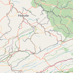
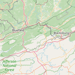
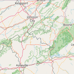
honey pot Wytheville, Walker Mtn, Virginia, 224.56, W4WAU Repeater

Walker Mtn - W4WAU

Wytheville, VA
Repeater ID: 51-8623

Downlink: 224.56000
Uplink: 222.96000
Offset: -1.600 MHz
Uplink Tone: 114.8
County: Wythe
Call: W4WAU
Use: OPEN
Op Status: ON-AIR On-Air
Coverage:
FM: Yes; analog capable: 25.0 kHz (wideband)
Links:
System Links:
Full-time to the Tri-State 220 System.
Coordination: SERA-VA
Last updated: 2024-07-15
Last reviewed: 2024-07-15
Marker
30 km
30 mi
Leaflet © OSM contributors

Exact coordinates of the repeater are not known.
Coverage circle based on mobile coverage and ignores propagation anomalies and terrain.

Signal Reports (click map icon for details): Base Mobile HT
Add a Signal Report


Date Information Updated
2021-01-29 16:28:31 Added.

Call Date Details
N4TZD (registered) 2024-07-14 Updated CTCSS Access Tone
N4TZD (registered) 2024-06-16 Updated callsign and marked as on-air.