(1 of 6) ...The Flood Warning continues for the following river in Arkansas... White River At Clarendon affecting Monroe and Arkansas Counties. White River At Augusta affecting White and Woodruff Counties. For the Lower White River...including Newport, Augusta, Georgetown, Des Arc, Clarendon...Minor flooding is forecast. * WHAT...Minor flooding is occurring and minor flooding is forecast. * WHERE...White River at Augusta. * WHEN...Until further notice. * IMPACTS...At 32.0 feet, Thousands of acres of cropland and farm roads are flooded in White and Woodruff counties. Water is isolating homes and camps along the river in White and Woodruff counties. * ADDITIONAL DETAILS... - At 7:00 PM CDT Sunday the stage was 30.0 feet. - Forecast...The river is expected to slowly rise. - Flood stage is 26.0 feet. - http://www.weather.gov/safety/flood (2 of 6) ...The Flood Warning continues for the following river in Arkansas... White River At Clarendon affecting Monroe and Arkansas Counties. White River At Augusta affecting White and Woodruff Counties. For the Lower White River...including Newport, Augusta, Georgetown, Des Arc, Clarendon...Minor flooding is forecast. * WHAT...Minor flooding is occurring and minor flooding is forecast. * WHERE...White River at Clarendon. * WHEN...Until further notice. * IMPACTS...At 26.0 feet, River flows in many side channels and creates islands between the river and sloughs and creeks. Flooding of cropland and timber is occurring. Portions of the National Wildlife Refuge downstream of Clarendon flooding. * ADDITIONAL DETAILS... - At 7:00 PM CDT Sunday the stage was 26.5 feet. - Forecast...The river is expected to remain steady just above flood stage. - Flood stage is 26.0 feet. - http://www.weather.gov/safety/flood (3 of 6) ...The National Weather Service in Little Rock AR has issued a Flood Warning for the following rivers in Arkansas... Spring River At Imboden affecting Randolph and Lawrence Counties. For the Spring River...including Hardy, Imboden...Minor flooding is forecast. * WHAT...Minor flooding is forecast. * WHERE...Spring River at Imboden. * WHEN...Until early Wednesday morning. * IMPACTS...At 18.0 feet, Lower lying cultivated farmlands and pastures flood. * ADDITIONAL DETAILS... - At 2:45 PM CDT Sunday the stage was 17.5 feet. - Forecast...The river is expected to rise above flood stage late Sunday afternoon to a crest of 19.0 feet just after midnight Sunday night. It will then fall below flood stage Monday evening. - Flood stage is 18.0 feet. - http://www.weather.gov/safety/flood (4 of 6) ...The National Weather Service in Shreveport has issued a Flood Warning for the following rivers in Arkansas...Louisiana... Bayou Dorcheat Near Springhill affecting Columbia and Webster Parishes. For the Bayou Dorcheat...including Springhill...Minor flooding is forecast. * WHAT...Minor flooding is forecast. * WHERE...Bayou Dorcheat near Springhill. * WHEN...From Thursday morning until further notice. * IMPACTS...At 11.0 feet, Expect minor lowland flooding. * ADDITIONAL DETAILS... - At 12:00 PM CDT Sunday the stage was 6.2 feet. - Bankfull stage is 11.0 feet. - Forecast...The river is expected to rise above flood stage Thursday morning and continue rising to a crest of 12.0 feet early Friday afternoon. - Flood stage is 11.0 feet. - http://www.weather.gov/safety/flood (5 of 6) ...The Flood Warning continues for the following rivers in Arkansas... Black River At Black Rock affecting Lawrence, Independence and Jackson Counties. For the Black River...including Corning, Pocahontas, Black Rock... Minor flooding is forecast. * WHAT...Minor flooding is occurring and minor flooding is forecast. * WHERE...Black River at Black Rock. * WHEN...Until further notice. * IMPACTS...At 20.0 feet, Agricultural land is flooding along both banks of the river in Lawrence, Independence, and Jackson counties. Minor flooding in Powhatan Community and Courthouse State Park. * ADDITIONAL DETAILS... - At 9:00 AM CDT Sunday the stage was 17.4 feet. - Forecast...The river is expected to rise to a crest of 21.5 feet early Wednesday morning. - Flood stage is 14.0 feet. - http://www.weather.gov/safety/flood (6 of 6) ...The Flood Warning continues for the following rivers in Arkansas... White River At Clarendon affecting Monroe and Arkansas Counties. White River At Augusta affecting Woodruff and White Counties. Cache River Near Patterson affecting Woodruff and Jackson Counties. For the Lower White River...including Newport, Augusta, Georgetown, Des Arc, Clarendon...Minor flooding is forecast. For the Cache River...including Patterson...Minor flooding is forecast. * WHAT...Minor flooding is occurring and minor flooding is forecast. * WHERE...Cache River near Patterson. * WHEN...Until further notice. * IMPACTS...At 10.5 feet, Water deep over Woodruff County Road 775 north of HWY 260, and intersection of HWY 37 and HWY 18 east of Grubbs. Water is encroaching on yards of homes on Pine Street in Patterson. Many acres of cropland, pastures, and timber flooded in Jackson and Woodruff counties. * ADDITIONAL DETAILS... - At 9:15 AM CDT Sunday the stage was 9.8 feet. - Forecast...The river is expected to rise to 10.5 feet early Monday afternoon. Additional rises are possible thereafter. - Flood stage is 9.0 feet. - http://www.weather.gov/safety/flood
honey pot Conway, Old Water Plant, Arkansas, 443.525, W5AUU Repeater

Old Water Plant - W5AUU

Conway, AR
Repeater ID: 05-77

Downlink: 443.52500
Uplink: 448.52500
Offset: +5.000 MHz
Uplink Tone: 114.8
Downlink Tone: 114.8
System Fusion Enabled
DG-ID:
County: Faulkner
Call: W5AUU
Use: OPEN
Op Status: ON-AIR On-Air
Coverage:
Sponsor: Faulkner Co ARC
FM: Yes; analog capable: 25.0 kHz (wideband)
Coordination: ARC
Last updated: 2021-02-16
Last reviewed: 2025-02-18
Marker
30 km
30 mi
Leaflet © OSM contributors

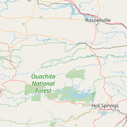
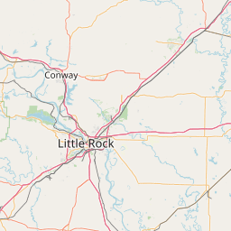
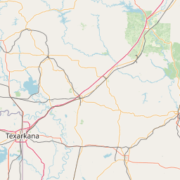
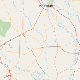
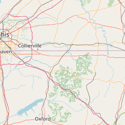
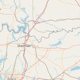
Exact coordinates of the repeater are not known.
Coverage circle based on mobile coverage and ignores propagation anomalies and terrain.

Signal Reports (click map icon for details): Base Mobile HT
Add a Signal Report


Date Information Updated
2021-02-16 16:06:32 Set off air - pending relocation as per w5auu.org

Call Date Details
N5EWC (registered) 2025-02-16 Added dual mode YSF/Analog
N5EWC (registered) 2024-05-09 Reported on-air.