
| Downlink: | 145.15000 |
| Uplink: | 144.55000 |
| Offset: | -0.600 MHz |
| Uplink Tone: | 110.9 |
| Downlink Tone: | 110.9 |
| System Fusion Enabled | |
| DG-ID: | 00 - Open |
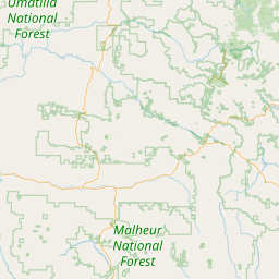
| County: | Union |
| Grid: | DN05ma |
| Call: | K7UNI |
| Use: | OPEN |
| Op Status: | |
| Coverage: |
Wide area coverage. 60 mi radius. |
| Sponsor: | Union County Emergency Management |
| Affiliate: | Union County ARES of Oregon |
| Features: | Emergency power equipped. |
| FM: | Yes; analog capable. |
| Analog Bandwidth: | 25.0 kHz (wideband) |
| Nets: | ARES: Thursday at 19:00 local |
| Last updated: 2025-03-27 | |
| Last reviewed: 2025-03-27 | |
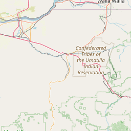
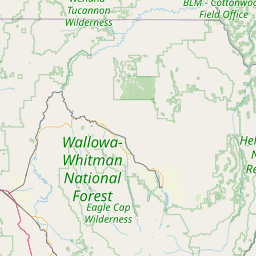
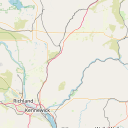
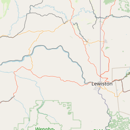
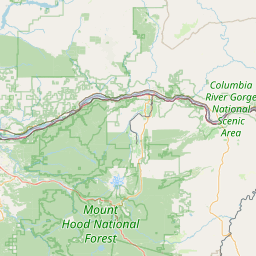
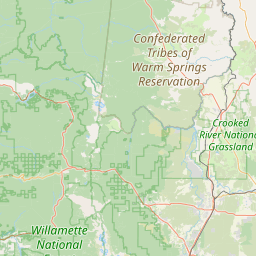


Exact coordinates of the repeater are known.
Coverage circle does not account for propagation anomalies or terrain.
| Click the icons on map for details. | ||
