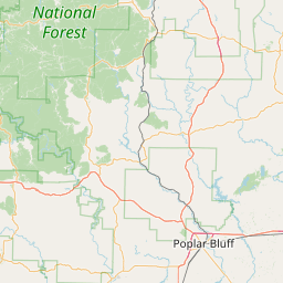
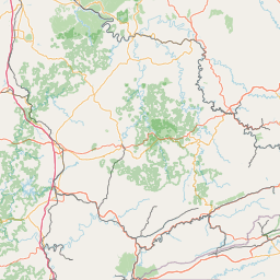
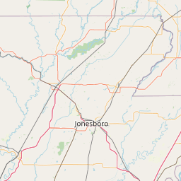
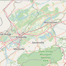
(1 of 6) ...The Flood Warning continues for the following rivers in Tennessee... North Fork Obion River near Martin For the Obion River...including Martin, Obion, Bogota...Moderate flooding is forecast. * WHAT...Moderate flooding is forecast. * WHERE...North Fork Obion River near Martin. * WHEN...From Thursday morning to Saturday morning. * IMPACTS...At 21.0 feet, Residents in the community of Rives should complete necessary flood precautions. Evacuations may be required. Extensive cropland flooding is occurring near the river in northeast Obion County and the northwest portion of Weakley County. Equipment and livestock should be moved to higher ground. * ADDITIONAL DETAILS... - At 4:00 PM CDT Tuesday the stage was 5.9 feet. - Forecast...The river is expected to rise above flood stage Thursday morning and may continue to rise through this weekend. - Flood stage is 20.0 feet. - http://www.weather.gov/safety/flood (2 of 6) ...The Flood Warning continues for the following rivers in Tennessee... Obion River near Obion For the Obion River...including Martin, Obion, Bogota...Moderate flooding is forecast. * WHAT...Minor flooding is forecast. * WHERE...Obion River near Obion. * WHEN...From Thursday morning until further notice. * IMPACTS...At 38.0 feet, Rives is flooding and most farmland near the river is flooding. * ADDITIONAL DETAILS... - At 8:00 PM CDT Tuesday the stage was 22.8 feet. - Forecast...The river is expected to rise above flood stage late Thursday morning and may continue to rise through this weekend. - Flood stage is 34.0 feet. - http://www.weather.gov/safety/flood (3 of 6) ...The National Weather Service in Memphis TN has issued a Flood Warning for the following rivers in Tennessee... North Fork of the Forked Deer at Dyersburg For the North Fork Forked Deer River...including Dyersburg...Minor flooding is forecast. * WHAT...Minor flooding is forecast. * WHERE...North Fork of the Forked Deer at Dyersburg. * WHEN...From Thursday afternoon to Sunday morning. * IMPACTS...At 24.0 feet, Flooding is beginning in south Dyersburg. Several homes in southeast Dyersburg are surrounded by water and flood waters begin to cause access problems. Residents in this area should take necessary precautions. * ADDITIONAL DETAILS... - At 8:00 PM CDT Tuesday the stage was 6.7 feet. - Forecast...The river is expected to rise above flood stage Thursday afternoon and continue rising to 24.1 feet Friday morning. Additional rises are possible into the weekend. - Flood stage is 22.0 feet. - http://www.weather.gov/safety/flood (4 of 6) ...The National Weather Service in Memphis TN has issued a Flood Warning for the following rivers in Tennessee... South Fork of the Forked Deer at Jackson For the South Fork Forked Deer River...including Jackson, Halls... Minor flooding is forecast. * WHAT...Minor flooding is forecast. * WHERE...South Fork of the Forked Deer at Jackson. * WHEN...From Thursday evening to late Saturday morning. * IMPACTS...At 34.0 feet, Businesses along Westover Road are affected by flood waters. * ADDITIONAL DETAILS... - At 8:00 PM CDT Tuesday the stage was 25.9 feet. - Forecast...The river will fall to 25.2 feet early tomorrow afternoon. It will rise above flood stage Thursday evening to 34.5 feet early Friday afternoon. Additional rises are possible into the upcoming weekend. - Flood stage is 34.0 feet. - http://www.weather.gov/safety/flood (5 of 6) ...The Flood Warning continues for the following rivers in Tennessee... South Fork of the Forked Deer near Halls For the South Fork Forked Deer River...including Jackson, Halls... Minor flooding is forecast. * WHAT...Minor flooding is forecast. * WHERE...South Fork of the Forked Deer near Halls. * WHEN...From Wednesday evening until further notice. * IMPACTS...At 11.5 feet, Farmland near the river is flooded. * ADDITIONAL DETAILS... - At 8:00 PM CDT Tuesday the stage was 3.2 feet. - Forecast...The river is expected to rise above flood stage late tomorrow evening and continue rising to 12.0 feet Friday morning. Additional rises are possible into the upcoming weekend. - Flood stage is 9.0 feet. - http://www.weather.gov/safety/flood (6 of 6) ...The Flood Warning continues for the following rivers in Tennessee... Loosahatchie River at Arlington For the Loosahatchie River...including Arlington...Minor flooding is forecast. * WHAT...Minor flooding is forecast. * WHERE...Loosahatchie River at Arlington. * WHEN...From Thursday morning to early Friday afternoon. * IMPACTS...At 21.0 feet, Brief Road is flooding. * ADDITIONAL DETAILS... - At 8:15 PM CDT Tuesday the stage was 2.5 feet. - Forecast...The river is expected to rise above flood stage late Thursday morning and continue rising to 21.0 feet Thursday evening. Additional rises are possible into the upcoming weekend. - Flood stage is 20.0 feet. - http://www.weather.gov/safety/flood
RepeaterBook.com Home Page
honey pot Clarksville, Tennessee, 443.15, W7EMG Repeater

Clarksville, TN

W7EMG
Repeater ID: 47-22992

Downlink: 443.15000
Uplink: 448.15000
Offset: +5.000 MHz
Uplink Tone: 123.0
Downlink Tone: 123.0
System Fusion Enabled
DG-ID: 00 - Open
County: Montgomery
Grid: EM66gm
Call: W7EMG
Use: OPEN
Op Status: ON-AIR On-Air
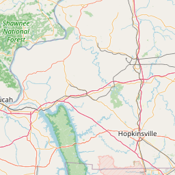
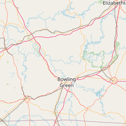
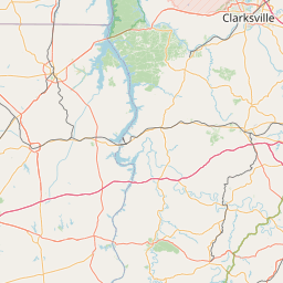
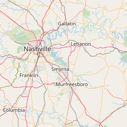
Coverage: 65 SQUARE MILES Montgomery County TN
Wide area coverage. 55 mi radius.
Features: Analog and Digital.
Emergency power equipped - Battery/Generator
FM: Yes; analog capable.
Analog Bandwidth: 25.0 kHz (wideband)
Notes: Montgomery County TN ARES Repeater Open Use
Nets: Every Thursday 7PM
Web links:
Last updated: 2024-11-27
Last reviewed: 2025-02-26
30 km
30 mi
Leaflet | © OpenStreetMap, © OpenStreetMap contributors

Exact coordinates of the repeater are known.
Coverage circle does not account for propagation anomalies or terrain.

Add a Propagation Report

- Base - HT - Mobile
Click the icons on map for details.


Call Date Details
W7EMG (registered) 2025-02-26 Propagation Report Added
W7EMG (registered) 2024-12-23 Propagation Report Added
W7EMG (registered) 2024-12-23 55 miles of coberage radius added
W7EMG (registered) 2024-12-23 55 miles of coverage radius added. "Every Thursday 7PM" added in nets field.
W7EMG (registered) 2024-11-27 Reported on-air.
W7EMG (registered) 2024-11-27 County changed to Montgomery. Latitude changed to 36.53329000. Longitude changed to -87.47291000. ARES, Skywarn, and emergency power added with battery/generator added as emergency power sources. 45 miles of coverage radius added.
W7EMG (registered) 2024-11-15 Added.


If you have an iPhone/iPod/iPad or Android device, please download the FREE official RepeaterBook app!


Copyright © 2006-2025 RepeaterBook.com. All Rights Reserved.
Created and owned by KD6KPC/WREQ745 since 2006.
All data, including non-copyrightable data, is protected from theft under Oregon law (ORS 164.377).

Page created in 0.042995 seconds.