| Downlink: | 1285.60000 |
| Uplink: | 1273.60000 |
| Offset: | -12.000 MHz |
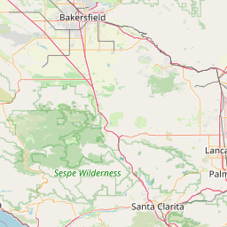
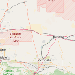
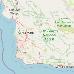
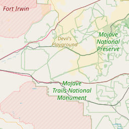
| County: | Los Angeles |
| Grid: | DM04vg |
| Call: | WJ1P |
| Use: | CLOSED |
| Op Status: | |
| Coverage: | |
| FM: | Yes; analog capable. |
| Analog Bandwidth: | 25.0 kHz (wideband) |
| Coordination: | SCRRBA |
| Last updated: 2024-04-15 | |
| Last reviewed: 2024-04-15 | |


Exact coordinates of the repeater are known.
Coverage circle does not account for propagation anomalies or terrain.
| Click the icons on map for details. | ||
