Great Bend, KS
KE0PTS
Repeater ID: 20-16524

| Downlink: | 442.07500 |
| Uplink: | 447.07500 |
| Offset: | +5.000 MHz |
| DMR Enabled | |
| Color Code: | 1 |
| DMR ID: |
312021 IPSC Network: Brandmeister - Color Code: 1 - TS Linked: TS1 TS2 - Trustee: Time Slot # 2 - 3120 = Kansas Time Slot # 1 - 31204 = CKRG Time Slot # 2 - 31206 = Cen Ks Skywarn Time Slot # 2 - 67530 = ? This repeater is a Moto MTR2000 running MMDVM and a open repeater connected to the Brandmeister Network. We have Central KS (TG31204), and Local (using TG9) on Time Slot 1. Central KS Skywarn (TG31206) on Time Slot 2. Cluster (Pawnee Rock, Great Bend, Russell Hosp, ) TG 2 on Time Slot 2. Please Use TS 2 for all other Brandmeister TG Both Slots Linked Last seen: 2025-06-19 15:07:44 Information courtesy of radioid.net and the BrandMeister Network. Repeater trustees can directly update this data through their respective websites. |
| IPSC: | BrandMeister US |
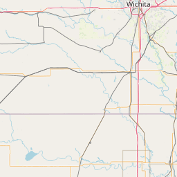
| County: | Barton |
| Grid: | EM08pj |
| Call: | KE0PTS |
| Use: | OPEN |
| Op Status: | |
| Coverage: |
Great Bend, Hoisington, Ellinwood, Claflin, Pawnee Rock, US-56, K-156, US-281, K-4. 15 mi radius. |
| Sponsor: | CKRG |
| Affiliate: | CKRG |
| Features: |
DMR |
| Links: | |
| Notes: | Please Check Webpage for TG Info |
| Nets: | SUN@17:45-WARC DMR net (31204) |
| Coordination: | Kansas Repeater Council |
| Last updated: 2019-12-15 | |
| Last reviewed: 2024-12-08 | |
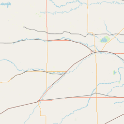
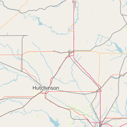
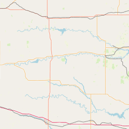
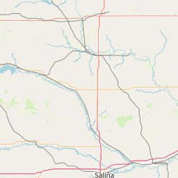

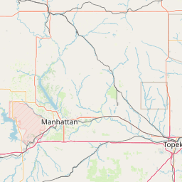
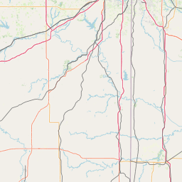
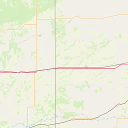
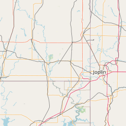

Exact coordinates of the repeater are
known.
Coverage circle based on mobile coverage and ignores propagation anomalies and terrain.