Your help is needed!: ... To keep Repeaterbook a resourceful tool, we need your help to verify which repeaters are "off the air" or "on the air" or if they are "no longer and can be archived". The more information provided the better! If you have contact with a repeater trustee, please ask them to consider "adding" or "updating" their repeater listing and so they can be added as the repeater custodian. We look to have all listings updated at least once per year and anytime something changes. Listings may be marked as unknown if they are not updated or verified and may eventually be archived which will not show the listing anymore. 73 for now. Any questions, please send an email to [email protected] - KB3AWQ - PA Admin ...
New Server: ... We have cut over to a new, faster server. It is much faster, but there are a few bugs. We are receiving the error alerts and working on them as they arrive. ...
(1 of 6) * WHAT...Heavy snow expected. Total accumulations between 5 and 12 inches, with the highest amounts on the ridgetops. Lower elevations could see 3 to 5 inches of snow accumulations. * WHERE...Northern Lycoming, Potter, Schuylkill, and Tioga Counties. * WHEN...From 4 PM this afternoon to 4 PM EST Friday. * IMPACTS...The strong winds and weight of snow on tree limbs may down power lines and could cause sporadic power outages. Travel could be very difficult. The hazardous conditions could impact the Thursday evening and Friday morning commutes. (2 of 6) * WHAT...Heavy snow expected. Total accumulations between 5 and 12 inches, with the highest amounts on the ridgetops. Lower elevations could see 3 to 5 inches of snow accumulations. * WHERE...Columbia County. * WHEN...From 4 PM this afternoon to 4 PM EST Friday. * IMPACTS...The strong winds and weight of snow on tree limbs may down power lines and could cause sporadic power outages. Travel could be very difficult. The hazardous conditions could impact the Thursday evening and Friday morning commutes. (3 of 6) * WHAT...Heavy snow expected. Total accumulations between 5 and 12 inches, with the highest amounts on the ridgetops. Lower elevations could see 3 to 5 inches of snow accumulations. * WHERE...Sullivan County. * WHEN...From 4 PM this afternoon to 4 PM EST Friday. * IMPACTS...The strong winds and weight of snow on tree limbs may down power lines and could cause sporadic power outages. Travel could be very difficult to impossible. The hazardous conditions could impact the Thursday evening and Friday morning commutes. (4 of 6) * WHAT...Heavy snow expected. Total accumulations between 6 and 12 inches, with the highest amounts on the ridgetops. Lower elevations could see 3 to 6 inches of snow accumulations. Winds gusting as high as 40 mph. * WHERE...Cambria and Somerset Counties. * WHEN...Until 7 AM EST Saturday. * IMPACTS...Travel could be very difficult to impossible. The hazardous conditions could impact the Thursday evening and Friday morning commutes. (5 of 6) * WHAT...Heavy snow expected. Total snow accumulations between 6 and 12 inches. Locally higher amounts possible across the highest ridge tops. Winds gusting as high as 40 mph. * WHERE...In Pennsylvania, Higher Elevations of Fayette and Higher Elevations of Westmoreland Counties. In West Virginia, Preston, and Western Tucker Counties. * WHEN...From 1 PM this afternoon to 7 AM EST Saturday. * IMPACTS...Roads, and especially bridges and overpasses, will likely become slick and hazardous. Travel could be very difficult. The hazardous conditions could impact the Thursday evening and Friday commutes. (6 of 6) * WHAT...Heavy wet snow. Total snow accumulations 4 to 8 inches with winds gusting up to 35 mph, with the highest accumulations and strongest winds at and above 1500 feet in northern Carbon and northwestern Monroe counties. Lower elevations will receive significantly less snow and wind. * WHERE...Carbon and Monroe Counties. * WHEN...From 4 PM this afternoon to 4 PM EST Friday. * IMPACTS...The strong winds and weight of snow on tree limbs may down power lines and could cause sporadic power outages. Travel could be very difficult. The hazardous conditions will impact this evening's and Friday morning's commutes.
RepeaterBook.com Home Page
honey pot Holtwood, Martic Township, Pennsylvania, 448.625, N3TPL Repeater

Martic Township - N3TPL

Holtwood, PA
Repeater ID: 42-153

Downlink: 448.62500
Uplink: 443.62500
Offset: -5.000 MHz
Uplink Tone: 114.8
Downlink Tone: 114.8
System Fusion Enabled
DG-ID: 00 - Open
County: Lancaster
Grid: FM19UV
Call: N3TPL
Use: OPEN
Op Status: ON-AIR On-Air
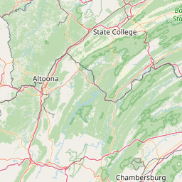
Coverage: 13 mi radius.
Features: Linked to Lancaster, PA HUB System 224.820, 224.320, 224.140, 53.850
FM: Yes; analog capable.
Analog Bandwidth: 25.0 kHz (wideband)
Links:
System Links:
Full-time to the Lancaster, PA Hub System.
Notes: N3TPL must first obtain a Repeaterbook.com account before being added as a custodian. Please ask the N3TPL to register for an account.
Coordination: ARCC
Last updated: 2023-05-22
Last reviewed: 2024-10-21

Open Street Map

Exact coordinates of the repeater are known.
Coverage circle does not account for propagation anomalies or terrain.

Add a Propagation Report

- Base - HT - Mobile
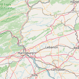
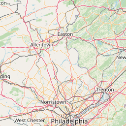
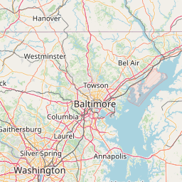
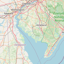
Click the icons on map for details.


Call Date Information
KO4OGA (registered) 2021-04-22 KO4OGA has requested the following changes: Landmark of removed. Features changed. The requester wants you to know: Landmark has bad character (breaks API usage).
N3TJJ (registered) 2015-12-29 Tone location and features updated
N3EST (registered) 2015-06-16 Reported on-air.


If you have an iPhone/iPod/iPad or Android device, please download the FREE official RepeaterBook app!


Copyright © 2006-2024 RepeaterBook.com. All Rights Reserved.
Created and owned by KD6KPC/WREQ745 since 2006.
All data, including non-copyrightable data, is protected from theft under Oregon law (ORS 164.377).

Page created in 0.048718 seconds.