| Downlink: | 1286.30000 |
| Uplink: | 1274.30000 |
| Offset: | -12.000 MHz |
| Uplink Tone: | 103.5 |
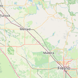
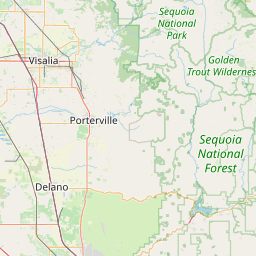
| County: | Tulare |
| Call: | WA6BAI |
| Use: | OPEN |
| On-air: | |
| Coverage: |
Wide area. Wide area coverage. |
| Sponsor: | TCARC |
| Features: |
E-power, linked. Emergency power equipped. |
| FM: | Yes; analog capable. |
| Analog Bandwidth: | 25.0 kHz (wideband) |
| Coordination: | NARCC |
| Last updated: 2015-12-14 | |
| Last reviewed:
2015-12-14 |
|


Coordinates of the repeater are not known and have been estimated.
| Click the icons on map for details. | ||
