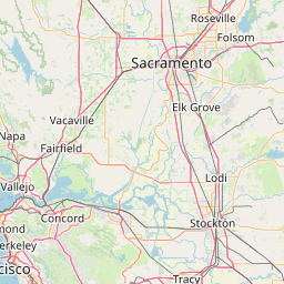
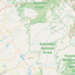
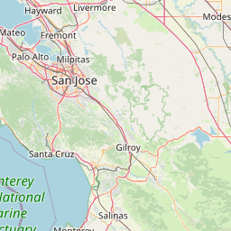
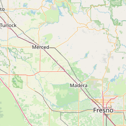
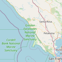
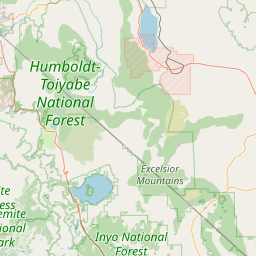
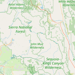
(1 of 4) * WHAT...Heavy snow. Snow accumulations between 1 to 2 feet above 7000 feet with isolated higher amounts up to 30 inches near the Sierra crest. At elevations below 7000 feet snow amounts of 5 to 9 inches. Ridge winds will be gusting as high as 75 mph. * WHERE...Greater Lake Tahoe Area. * WHEN...From 7 AM Monday to 4 AM PST Wednesday. * IMPACTS...Travel could be very difficult to impossible. The hazardous conditions could impact the Monday morning and evening commutes. Very strong winds could cause extensive damage to trees and power lines. * ADDITIONAL DETAILS...The strongest winds will be on Tuesday morning. (2 of 4) * WHAT...Heavy snow. Snow accumulations of 1 to 2 feet above 7000 feet with isolated areas near the Sierra crest up to 3 feet. Ridge winds gusting as high as 80 mph. * WHERE...Mono County. * WHEN...From 4 AM Monday to 4 AM PST Wednesday. * IMPACTS...Travel could be very difficult to impossible. The hazardous conditions could impact the Monday morning and evening commutes. Very strong winds could cause extensive damage to trees and power lines. * ADDITIONAL DETAILS...The strongest winds will be on Tuesday morning. (3 of 4) * WHAT...Heavy snow expected mainly above 4000 feet. Total snow accumulations up to 24 inches for remote parts of Mount Shasta. 8 to 12 inches of snow for Snowmans Summit and Dead Horse Summit on Highway 89. Winds could gust as high as 40 mph. * WHERE...Portions of south central Siskiyou County above 4000 feet, including Snowmans Summit and Dead Horse Summit along Highway 89 and Mount Shasta Ski Road. * WHEN...From 10 AM this morning to 4 AM PST Tuesday. * IMPACTS...Travel could be very difficult to impossible. The hazardous conditions could impact the Monday morning and evening commutes. Gusty winds could bring down tree branches. * ADDITIONAL DETAILS...The heaviest snowfall, up to 2" per hour, will fall generally between 4 pm and 9 pm on Sunday. The second wave with rates around 1" per hour will occur Monday morning. (4 of 4) * WHAT...Heavy snow expected for elevations above 5500 feet. Additional snow accumulations of 1 to 3 feet and up to 4 feet along higher peaks. Wind gusts as high as 40 mph. * WHERE...West Slope Northern Sierra Nevada and Western Plumas County/Lassen Park. * WHEN...Until 4 AM PST Wednesday. * IMPACTS...Snow-covered roads, chain controls and travel delays likely. Travel could be very difficult to impossible. The hazardous conditions could impact the Monday morning and evening commutes. * ADDITIONAL DETAILS...Brief lull in snow through this afternoon. Periods of moderate to heavy snow return tonight through early Wednesday morning. Snow levels 4000-5000 feet today, increasing to 5000-6500 feet on Monday, then lowering 4000-5000 feet on Tuesday. 2 to 5 inches of snow possible down to around 5000 feet.
RepeaterBook.com Home Page
honey pot Sonora, Downtown, California, 442.975, KJ6NRO Repeater

Downtown - KJ6NRO

Sonora, CA
Repeater ID: 06-12494

Downlink: 442.97500
Uplink: 447.97500
Offset: +5.000 MHz
DMR Enabled
Color Code: 1
DMR ID: 310647
IPSC Network: BrandMeister - Color Code: 1 - TS Linked: TS1 TS2 - Trustee: radio id dot net antenna logo KJ6NRO
Time Slot # 1 - 242 = Norway
Time Slot # 1 - 3106 = California
Time Slot # 1 - 31012 = QuadNet-BM
Time Slot # 2 - 31068 = NorCal
Time Slot # 2 - 31666 = DMR of Anarchy
Time Slot # 2 - 95150 = Global NorCal 5150
Time Slot # 1 - 310602 = ?

Information courtesy of radioid.net and the BrandMeister Network. Repeater trustees can directly update this data through their respective websites.
IPSC: BrandMeister US
County: Tuolumne
Grid: CM97TX
Call: KJ6NRO
Use: OPEN
Op Status: ON-AIR On-Air
Coverage: 10 mi radius.
HAAT: 59 feet
ERP: 30 watts
Sponsor: GFY Network
Features: Linked to wide area UHF & VHF repeaters on Local Talk Group 2
Nets: California DMR Net: Thu at 19:00. Calif Talk Group 3107
Papa System Southwest Regional DMR Roundtable Net: Fri at 20:00. Talk Group 3176.
DMR-MARC Worldwide Net: Sat at 09:00.Talk Group 1.
Web links:
Coordination: NARCC
Last updated: 2022-04-11
Last reviewed: 2024-10-23

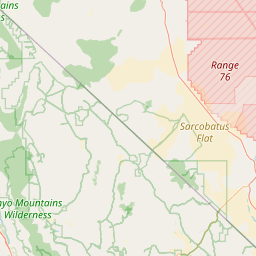
Open Street Map

Exact coordinates of the repeater are known.
Coverage circle does not account for propagation anomalies or terrain.

Add a Propagation Report

- Base - HT - Mobile
Click the icons on map for details.


Date Information Updated
2014-12-13 00:00:00 Repeater ID: 310647.

Call Date Information
KJ6NRO (registered) 2022-04-07 Updated Webpage and nets
KJ6NRO (registered) 2015-02-12 Changed: Input freq, features. web URL, nets. Added: MIRA coverage.
KJ6NRO (registered) 2015-02-08 hanged: input and put put freq, location, GPS, coordinator. Added: email, nets, web URL, features.


Visit our DMR pages | Learn more about DMR | NetWatch

- DMR Talk groups are updated directly on radioid.net or BrandMeister.network.
- The IPSC Network is obtained from the radioid.net API. If this information is not correct, please update it at radioid.net.
- Did you know that Repeaterbook has its own BrandMeister talk group? Find us at 31419 (BrandMeister only).

   
If you have an iPhone/iPod/iPad or Android device, please download the FREE official RepeaterBook app!


Copyright © 2006-2024 RepeaterBook.com. All Rights Reserved.
Created and owned by KD6KPC/WREQ745 since 2006.
All data, including non-copyrightable data, is protected from theft under Oregon law (ORS 164.377).

Page created in 1.414771 seconds.