(1 of 2) ...The National Weather Service in Paducah KY has issued a Flood Warning for the following rivers in Missouri... Black River at Poplar Bluff affecting Butler County. .A multi-day heavy rain is headed toward the region beginning later today and lasting through Saturday. Three days of rainfall is incorporated into the forecast but it still does not include the entire event. The Black River will start to rise later this week and increases in crest forecasts can be expected. Now is the time to prepare for flooding. * WHAT...Major flooding is forecast. This approaches the flood of record. * WHERE...Black River at Poplar Bluff. * WHEN...From late Friday night to Sunday evening. * ADDITIONAL DETAILS... - At 9:15 AM CDT Wednesday the stage was 1.5 feet. - Forecast...The river will oscillate around flood stage with a maximum value of 21.0 feet Saturday evening. - Flood stage is 16.0 feet. (2 of 2) ...Forecast flooding changed from Minor to Moderate severity and increased in duration for the following rivers in Missouri... Black River near Annapolis. River forecasts are based on observed precipitation and forecast precipitation for the next 24 hours. * WHAT...Moderate flooding is forecast. * WHERE...Black River near Annapolis. * WHEN...From Friday evening to Monday evening. * IMPACTS...At 20.5 feet, One house on Circle Drive in Lesterville will flood near this height. * ADDITIONAL DETAILS... - At 9:15 AM CDT Wednesday the stage was 4.4 feet. - Forecast...The river will rise to 4.6 feet tomorrow morning. It will then fall to 4.4 feet tomorrow evening. It will rise above flood stage late Friday evening to 20.0 feet early Saturday afternoon. It will then fall below flood stage early Sunday afternoon. - Flood stage is 8.0 feet.
RepeaterBook.com Home Page
honey pot Union, Indian Prairie School, Missouri, 147.18, WA0FYA Repeater

Indian Prairie School - WA0FYA

Union, MO
Repeater ID: 29-12175

Downlink: 147.18000
Uplink: 147.78000
Offset: +0.600 MHz
Uplink Tone: 79.7
Downlink Tone: 79.7
System Fusion Enabled
DG-ID: 00 - Open
County: Franklin
Grid: EM48mj
Call: WA0FYA
Use: OPEN
Op Status: ON-AIR On-Air
Coverage: 30 mi radius.
Affiliate: Zero Beater Amateur Radio Club (ZBARC)
Features: Emergency power equipped - Battery
FM: Yes; analog capable.
Analog Bandwidth: 25.0 kHz (wideband)
Web links: ZBARC
Coordination: MRC
Last updated: 2024-07-22
Last reviewed: 2024-07-22
30 km
20 mi
Leaflet | © OpenStreetMap, © OpenStreetMap contributors

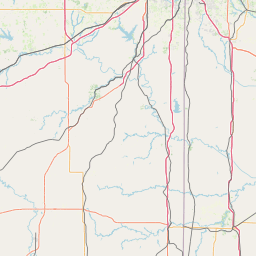
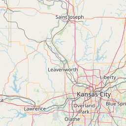
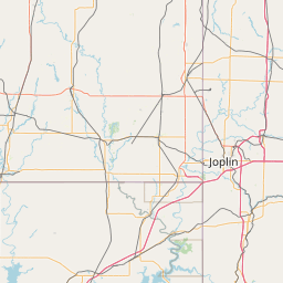
Exact coordinates of the repeater are known.
Coverage circle does not account for propagation anomalies or terrain.

Add a Propagation Report

- Base - HT - Mobile
Click the icons on map for details.


Date Information Updated
2014-10-13 00:00:00 Added

Call Date Details
N9EXR (registered) 2024-05-03 Reported no changes
N0YCX 2023-08-20 added ARES, SKYWARN, and feature
W0KPX 2023-06-08 changed tones


If you have an iPhone/iPod/iPad or Android device, please download the FREE official RepeaterBook app!


Copyright © 2006-2025 RepeaterBook.com. All Rights Reserved.
Created and owned by KD6KPC/WREQ745 since 2006.
All data, including non-copyrightable data, is protected from theft under Oregon law (ORS 164.377).

Page created in 0.042100 seconds.