(1 of 4) ...The National Weather Service in Houston/Galveston TX has issued a Flood Warning for the following rivers in Texas... Trinity River at Liberty affecting Liberty County. For the Trinity River...including Liberty...Moderate flooding is forecast. * WHAT...Moderate flooding is forecast. * WHERE...Trinity River at Liberty. * WHEN...From late tonight until further notice. * IMPACTS...At 27.0 feet, Moderate lowland flooding begins as roads into several outlying communities above Liberty are closed with residents in 5 or 6 subdivisions cut off if not evacuated. * ADDITIONAL DETAILS... - At 1:15 PM CDT Thursday the stage was 25.7 feet. - Bankfull stage is 21.0 feet. - Forecast...The river is expected to rise above flood stage just after midnight tonight and continue rising to 28.1 feet early Tuesday morning. Additional rises are possible thereafter. - Flood stage is 26.0 feet. - Flood History...This crest compares to a previous crest of 28.1 feet on 12/23/1994. - http://www.weather.gov/safety/flood (2 of 4) ...The Flood Warning continues for the following rivers in Texas... Trinity River At Trinidad affecting Henderson and Navarro Counties. * WHAT...Minor flooding is occurring and minor flooding is forecast. * WHERE...Trinity River at Trinidad. * WHEN...Until Monday morning. * IMPACTS...At 40.0 feet, Moderate flooding will occur along the right bank to agricultural fields and the cattle industry. * ADDITIONAL DETAILS... - At 1:00 PM CDT Thursday the stage was 37.6 feet. - Bankfull stage is 33.0 feet. - Flood stage is 33.0 feet. - Forecast...The river is expected to rise to a crest of 38.6 feet just after midnight tonight. It will then fall below flood stage Sunday evening. (3 of 4) ...The Flood Warning is extended for the following rivers in Texas... Trinity River at Riverside affecting San Jacinto, Polk, Walker and Trinity Counties. For the Trinity River...including Crockett, Riverside, Goodrich, Romayor, Liberty, Moss Bluff...Minor flooding is forecast. * WHAT...Minor flooding is occurring and minor flooding is forecast. * WHERE...Trinity River at Riverside. * WHEN...Until further notice. * IMPACTS...At 136.0 feet, Moderate lowland flooding begins in the vicinity of the gage. The lowest homes in the Green Rich Shores Subdivision are flooded and Thomas Lake Road is inundated and impassable. Low-lying roads in the Deep River Plantation Subdivision are inundated. The lowest roads into properties off FM 980 northwest of Riverside are inundated and the lowest buildings are threatened. * ADDITIONAL DETAILS... - At 7:30 AM CDT Thursday the stage was 135.6 feet. - Bankfull stage is 133.0 feet. - Recent Activity...The maximum river stage in the 24 hours ending at 7:30 AM CDT Thursday was 135.6 feet. - Forecast...The river is expected to fall to 134.0 feet Tuesday morning. - Flood stage is 133.5 feet. - Flood History...This crest compares to a previous crest of 135.6 feet on 02/14/2010. - http://www.weather.gov/safety/flood (4 of 4) ...The Flood Warning continues for the following rivers in Texas... Trinity River near Moss Bluff affecting Chambers and Liberty Counties. For the Trinity River...including Crockett, Riverside, Goodrich, Romayor, Liberty, Moss Bluff...Minor flooding is forecast. * WHAT...Minor flooding is occurring and minor flooding is forecast. * WHERE...Trinity River near Moss Bluff. * WHEN...Until further notice. * IMPACTS...At 12.2 feet, Minor lowland flooding begins in the vicinity of the gage. * ADDITIONAL DETAILS... - At 8:30 AM CDT Thursday the stage was 12.4 feet. - Bankfull stage is 9.2 feet. - Recent Activity...The maximum river stage in the 24 hours ending at 8:30 AM CDT Thursday was 12.4 feet. - Forecast...The river is expected to rise to 13.1 feet early Monday afternoon. Additional rises are possible thereafter. - Flood stage is 12.2 feet. - Flood History...This crest compares to a previous crest of 13.2 feet on 04/10/2008. - http://www.weather.gov/safety/flood
honey pot Mount Pleasant, Texas, 444.95, W5KNO Repeater

Mount Pleasant, TX

W5KNO
Repeater ID: 48-118

Downlink: 444.95000
Uplink: 449.95000
Offset: +5.000 MHz
Uplink Tone: 151.4
Downlink Tone: 151.4
County: Titus
Call: W5KNO
Use: OPEN
Op Status: ON-AIR On-Air
Coverage: Northeast Texas.
FM: Yes; analog capable: 25.0 kHz (wideband)
Coordination: TVHFS
Last updated: 2018-11-22
Last reviewed: 2025-03-13
MarkerMarker
50 km
30 mi
Leaflet © OSM contributors

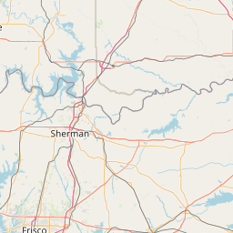
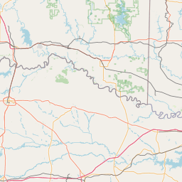
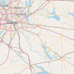
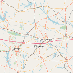
Exact coordinates of the repeater are not known.
Coverage circle based on mobile coverage and ignores propagation anomalies and terrain.

Signal Reports (click map icon for details): Base Mobile HT
Add a Signal Report


Call Date Details
WB9CSP (registered) 2025-03-13 Propagation Report Added
N9EXR (registered) 2024-07-18 Reported no changes
N5BIG (registered) 2024-01-21 Reported on-air.

(member) on 2010-12-25.

(member) on 2023-04-16.

This site is always up and running. Always sounds good. Thank you!

Category Definitions
Comments
Coverage
Activity
Travel

Posted by: K5DGY
Coverage
Activity
Travel
"Excellent repeater."
Posted by: W7LTR